Upper Ruamāhanga Flood Modelling
Consultation has concluded
We need your help to improve the flood hazard maps for upper Ruamāhanga, so we can update the community about flood risks.
Share your feedback using the maps feedback forms below before 4pm, Tuesday 8 February 2022.
What are we doing?
Greater Wellington and local Wairarapa authorities are working together to update the flood hazard maps for the upper Ruamāhanga catchment.
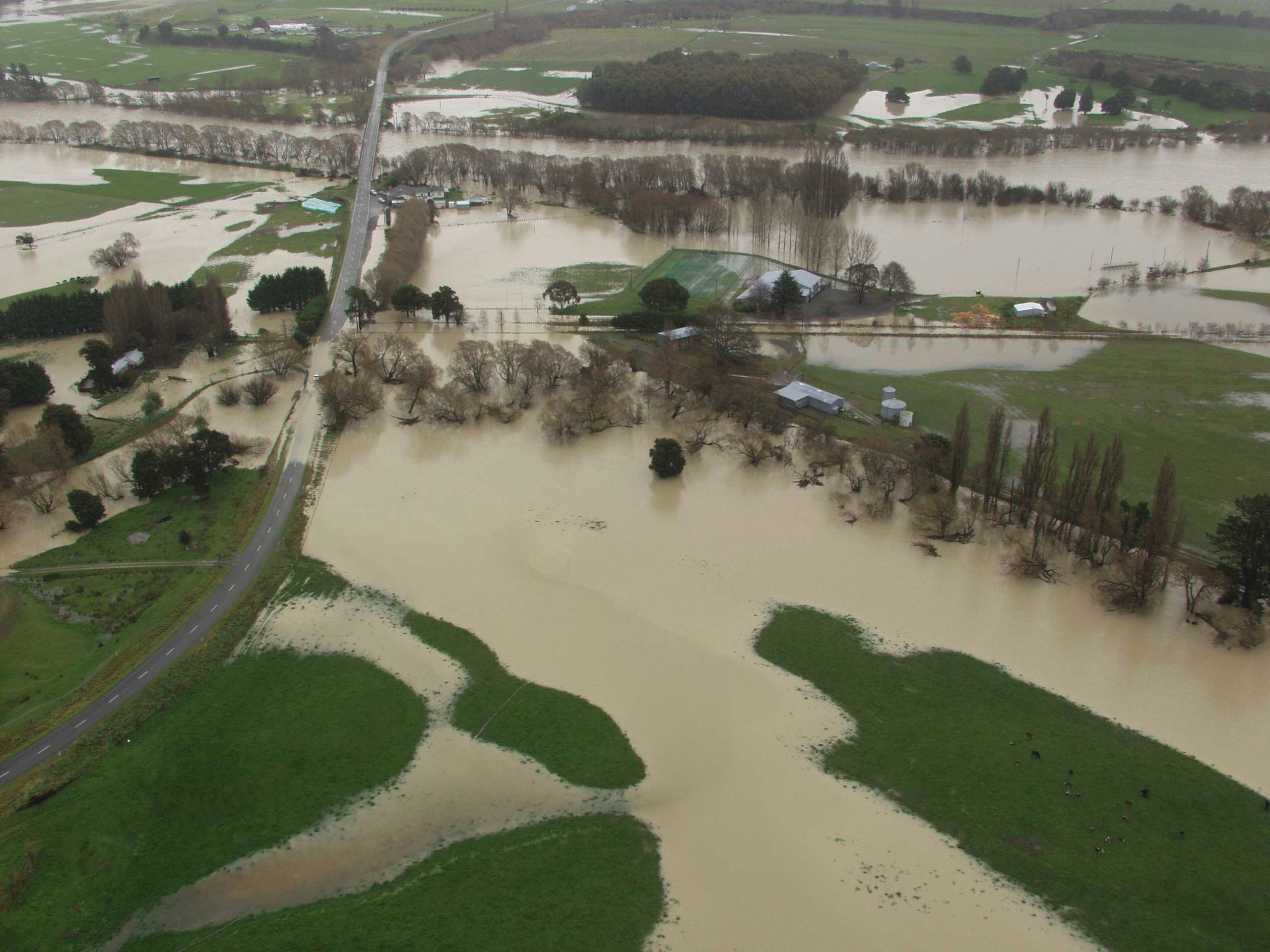
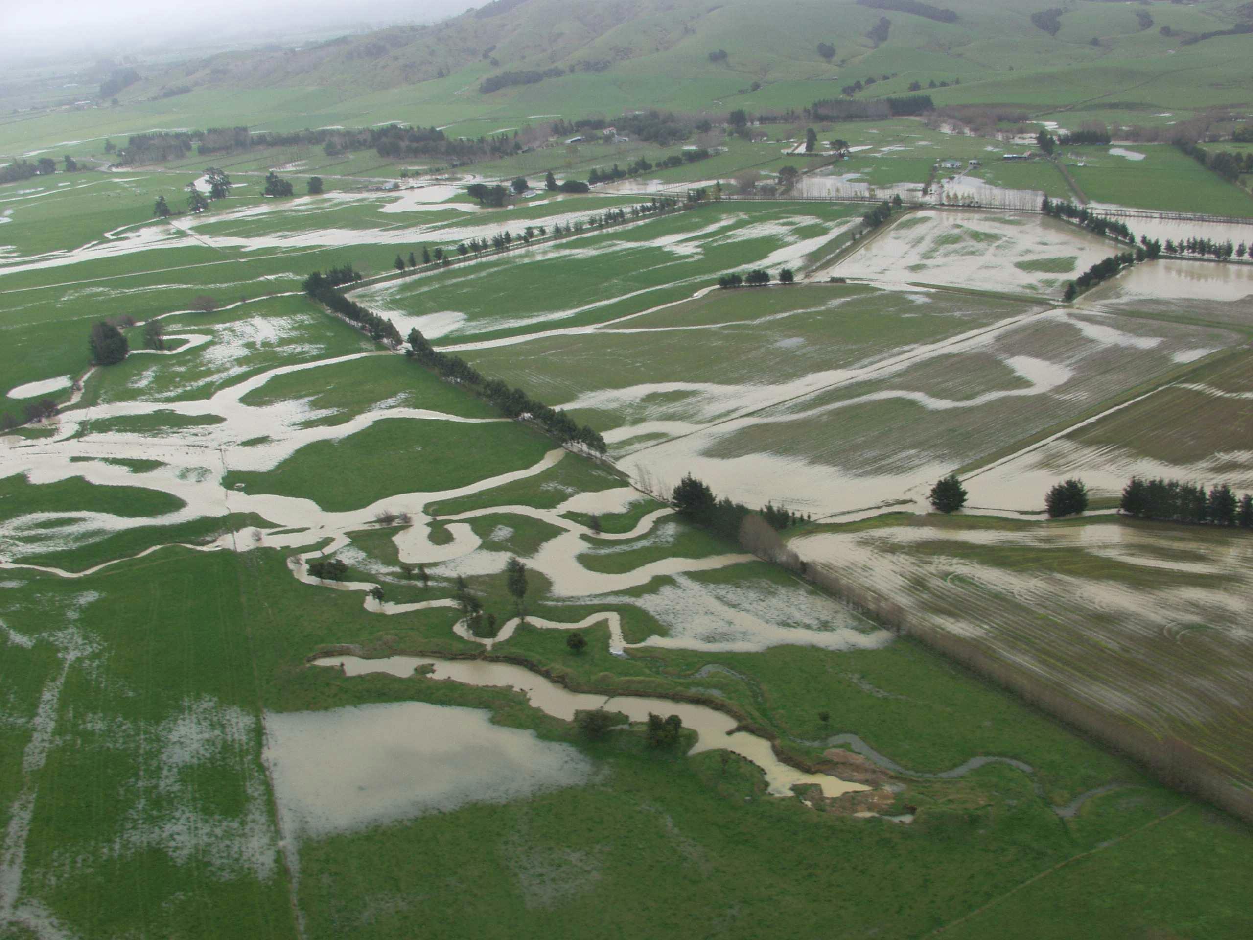
Flood hazard maps provide a clear picture of which areas are most at risk of flooding during severe weather, so that people in the right areas can be informed about flood risks.
To create flood hazard maps, we use computer software to analyse data from past floods and model which areas are likely to be impacted by flooding, both now and in the future.
Help improve the flood hazard maps for your community
The more information we have about past floods, the more accurate the flood hazard map for your community will be.
That’s why we’re asking you to please share any photos or information you have from the:
- October 1998 flood
- October 2000 flood
- July 2006 flood.
To contribute, take a look at the three maps at the bottom of this page. Let us know if each map matches your memory of the flood by clicking the 'Add Pin' and following the instructions.
We'd really appreciate receiving any photos you have that show flooding around the following rivers:
- Kopuaranga River
- Taueru River.
The information you share now will help us make the flood hazard maps for your community even better.
Why are we doing this now?
Advances in flood modelling computer software make now a good time to update these maps. Doing this review now also means updated maps can be used in the Wairarapa Combined District Plan review.
Want more information or to get in touch?
If you’d prefer to talk with a Flood Protection officer to share your experiences, please email us at info@gw.govt.nz and mention upper Ruamāhanga modelling.
For advice on how to prepare for floods, or information about our wider flood protection work, visit: www.gw.govt.nz/flood-protection
How we’ll use your information
Please be aware that any feedback you share on the Maps below will be visible to all visitors to the page.
We use this information to refine our flood hazard model for the upper Ruamahanga catchment. We may also use the information to contact you to discuss your information in further detail or clarify things further with you. We may also contact you to seek permission for use of the photos for other purposes such as future engagement material. Your information is held securely by Greater Wellington, find out more in the Privacy Statement to the right.